Freya Hartmann · 21 September 2026
Valley Creek Restoration Efforts Draw Unexpected Alliances Among Local Stakeholders and Regional Experts
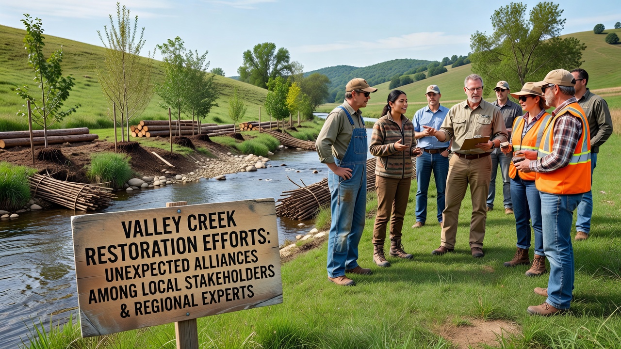
Valley Creek has seen coordinated restoration work accelerate through 2026 as groups that once operated separately now share resources and data, and this shift produced measurable gains in water quality and habitat connectivity by late summer. Local landowners, municipal planners, and regional scientists formed working groups that track sediment loads, riparian plantings, and fish passage improvements while coordinating schedules around agricultural cycles and regulatory deadlines.
Background on the Creek and Initial Challenges
Valley Creek drains a mixed watershed that includes working farms, small communities, and forested headwaters, and decades of channelization plus nutrient runoff left sections with elevated phosphorus levels and reduced macroinvertebrate diversity according to monitoring records maintained by state environmental agencies. Early volunteer cleanups removed debris but produced limited long-term change because individual efforts lacked consistent funding or technical oversight, so restoration remained fragmented until broader partnerships emerged.
By early 2025 several landowners noticed repeated flooding that damaged fences and reduced pasture productivity, and they contacted county extension offices for technical assessments that later connected them with university hydrologists already studying similar streams in neighboring counties. These initial contacts expanded when regional experts from multiple institutions offered joint training sessions on bioengineering techniques such as willow staking and log-jam installation.
Formation of Cross-Sector Working Groups
Stakeholders organized quarterly meetings that rotate between farm community halls and university field stations, and attendance records show consistent participation from agricultural producers, municipal public works staff, nonprofit land trusts, and fisheries biologists. Each group contributes distinct data sets: farmers supply soil test results and irrigation logs, while researchers deploy continuous water-quality sondes that log temperature, dissolved oxygen, and turbidity at fifteen-minute intervals.
One collaboration produced a shared GIS platform that overlays property boundaries with modeled flood extents and priority planting zones, allowing participants to visualize trade-offs between crop rows and buffer strips before any ground is broken. This tool reduced disputes over easement widths because all parties review the same layers during planning sessions.
September 2026 Milestone Meeting
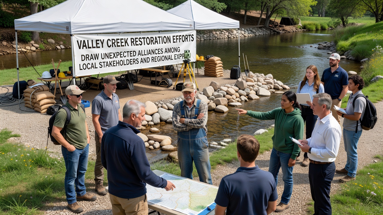
In September 2026 the partnership hosted a two-day field workshop along a three-mile reach that had been identified for large woody debris placement, and participants included representatives from the county conservation district, a state fisheries office, two university research teams, and fifteen private landowners. Demonstrations covered equipment calibration for bank grading as well as post-installation monitoring protocols using drone imagery collected every six weeks.
Data presented at the workshop indicated a 22 percent drop in peak turbidity readings compared with baseline measurements from 2023, and those figures align with trends reported in similar projects tracked by the U.S. Geological Survey across the Midwest. Attendees also reviewed preliminary electrofishing results that documented increased juvenile salmonid densities in treated pools relative to untreated reference sites.
Technical Methods and Shared Resources
Restoration crews installed 47 engineered log jams and planted more than 18,000 native shrubs and trees across 12 properties, and costs were offset by combining federal cost-share programs with private foundation grants administered through a single fiscal agent. Equipment pooling agreements allowed landowners to borrow tracked excavators and seed drills without individual capital outlays, which lowered per-acre expenses by roughly one-third compared with standalone projects.
Regional experts contributed reach-scale hydraulic models that predict how added roughness from wood structures alters shear stress along banks, and those models were validated against high-water marks from spring runoff events. The resulting adjustments refined placement locations so structures provide habitat while minimizing risk to downstream infrastructure.
Monitoring Outcomes and Data Sharing
Continuous sensors now feed a public dashboard updated daily, and users can download raw data files or view trend summaries broken down by sub-watershed. Independent audits conducted by a Canadian research institute specializing in freshwater ecology confirmed that macroinvertebrate index scores improved at six of eight monitoring stations after two full growing seasons.
Observers note that communication protocols developed for this project have been adapted by neighboring watersheds, and requests for the GIS template have come from groups in three additional states. The approach demonstrates how combining local knowledge with regional technical capacity produces replicable workflows rather than isolated successes.
Conclusion
Valley Creek restoration illustrates how sustained data exchange and joint decision-making among diverse participants can advance measurable environmental metrics while respecting agricultural operations and local governance structures. Continued sensor networks and periodic field reviews will track whether gains in habitat metrics persist through subsequent flood cycles and seasonal variability.